About
The Grand Tour
Start & End @ Bracebridge
Approx. 245 km / 150 miles
About 4 – 6 hours depending on number of stops
Click here for a Map with Points of Interest
Directions:
From Bracebridge, follow Highway 11 north to Muskoka Road 117
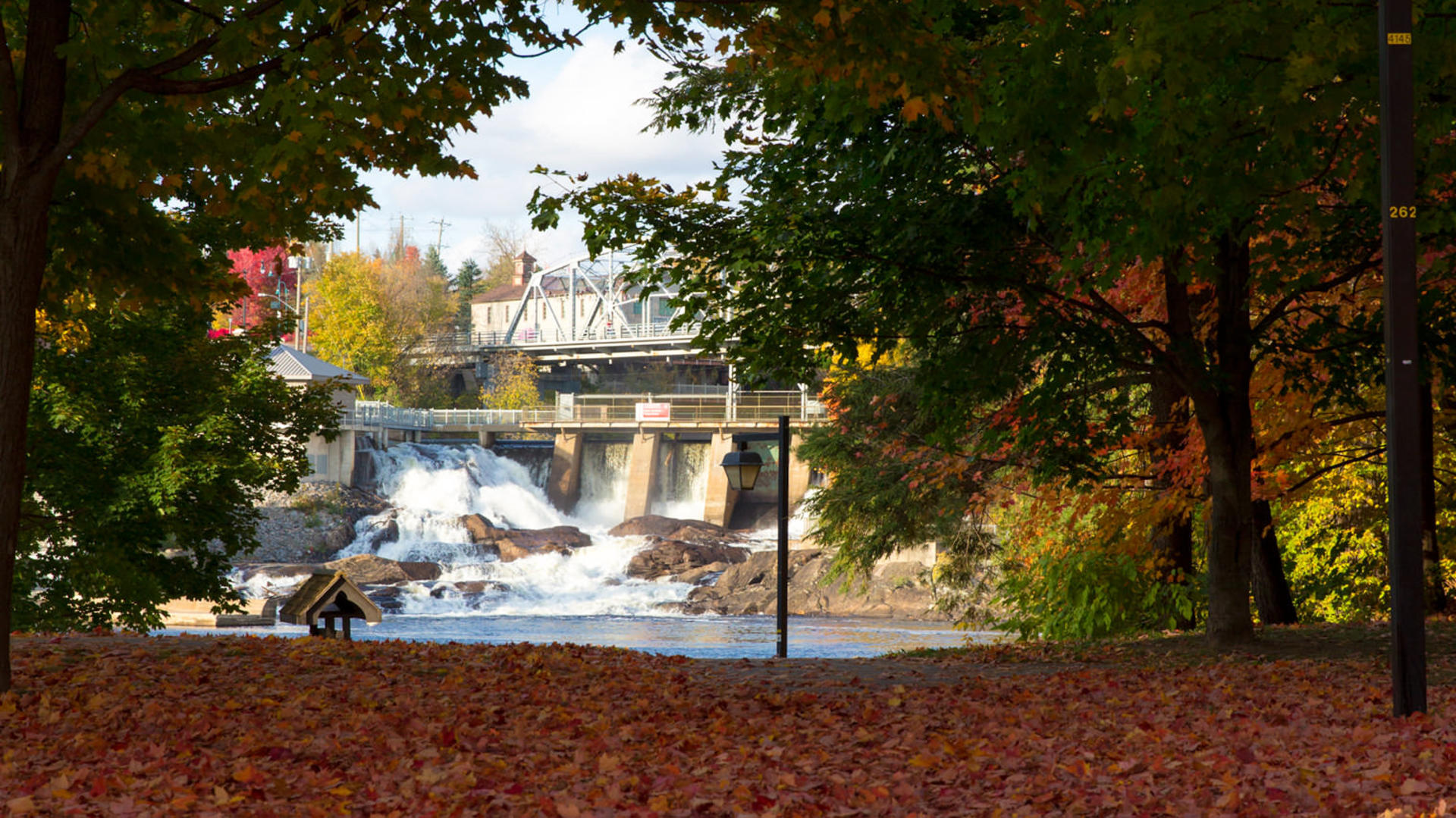
Take Muskoka Road 117 east through Baysville to Dorset
Left on Highway 35 in Dorset to Highway 60
Left on Highway 60, through Dwight and Huntsville to Highway 11
South on Highway 11 to Highway 141
West on Highway 141 through Utterson and Rosseau to Highway 69
South on Highway 69 to Muskoka Road 169
Follow Muskoka Road 169 through Bala to Muskoka Road 41 (Bethune Drive) in Gravenhurst
Left on Bethune Drive to Highway 11
Take Highway 11 north back to Bracebridge
Tour Highlights:
The town of Bracebridge, with 22 waterfalls and where Santa Claus has his summer home
The sites of an historic cranberry marsh in MacTier and a commercially-operating cranberry marsh in Bala
Muskoka’s (and the world’s) first Dark Sky Reserve, just outside Torrance at the Torrance Barrens


